Last updated August 3, 2026
The tide is the main event on this shore. It runs big here — the water can rise and fall around ten feet between high and low — so the coastline you see at breakfast is a different place by afternoon.
How the tide works here
This part of the Maine coast has a large, semidiurnal tide: roughly two highs and two lows every day, with about six hours between a high and the following low. The mean range near Bar Harbor and Union River Bay is on the order of ten to eleven feet, and a strong spring tide can run higher still.
- Typical range, high to low — ~10–11 ft
- Time between high and low — ~6 hrs
- Tides per day — 2 high / 2 low
Derived from NOAA tidal datums, Bar Harbor station 8413320, tidesandcurrents.noaa.gov; daily charts at US Harbors.
Tide-pooling, with or without kids
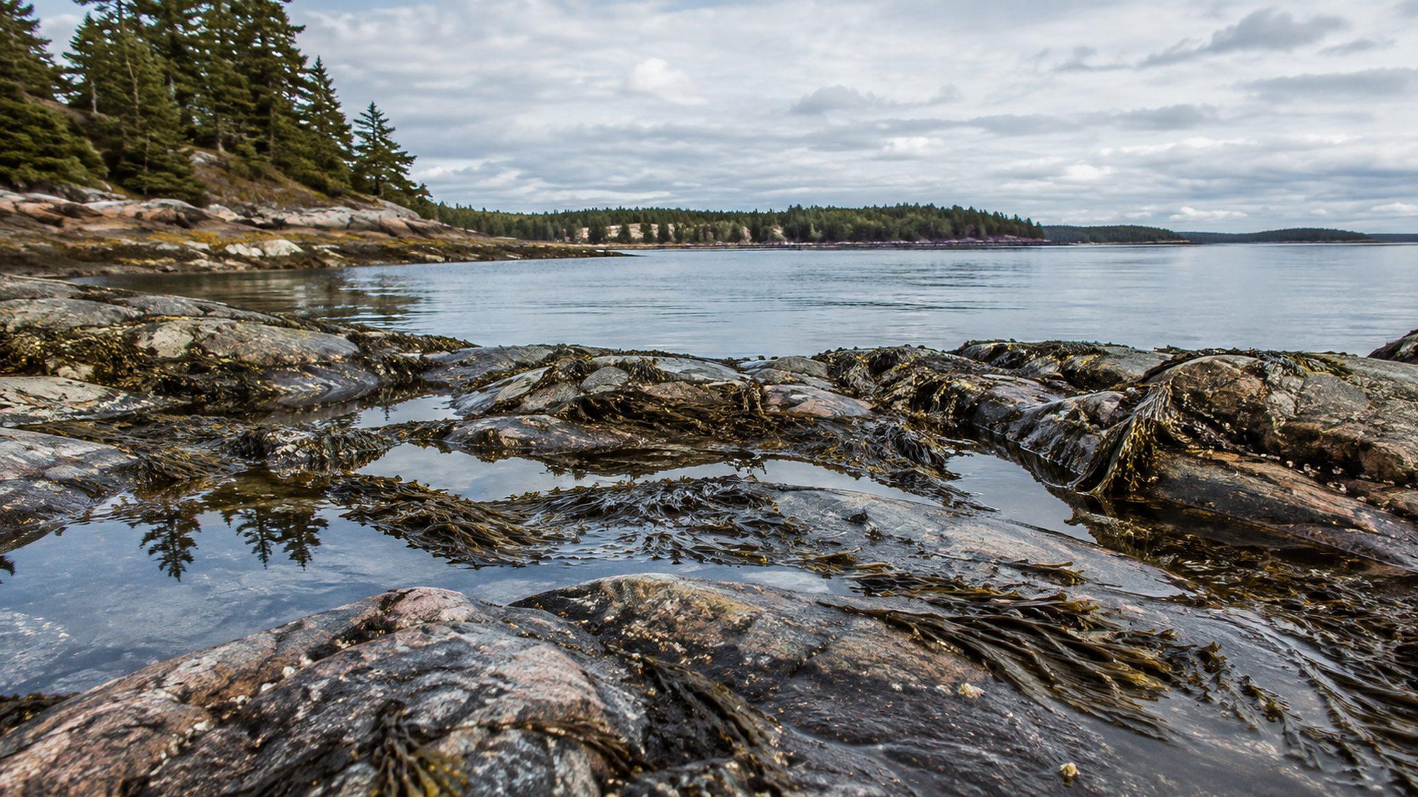
When the water pulls back it leaves the rocky shore to you — pools to comb, shells to gather, and seals hauled out on the rocks offshore. The trick is timing: head down as the tide is falling, and aim for the hour or so around low tide when the most is uncovered.
One real safety note
With a ten-foot range, the water comes back in faster than people expect and can cut off low rocks and ledges. Go out on a falling tide, keep an eye on the turn, and be back up well before it comes in. Check a daily tide chart before you go down — we'll point you to the day's times.
This week on the shore
Low tide is the invitation
The shore roughly doubles at low water. Head down on a falling tide and aim for the hour either side of low — that's when the ledges and pools are open.
Predicted tides for Bar Harbor (NOAA station 8413320), the reference station for this stretch of coast — a few minutes different at Smiths Ledge. Heights are feet above mean lower-low water; a minus figure means extra shore to explore. See the full NOAA predictions →
Reading the day's tides
Predicted highs and lows shift a few minutes day to day. Bar Harbor (NOAA station 8413320) is the reference station for Frenchman Bay and our stretch of Union River Bay — a few minutes different at Smiths Ledge. Heights are feet relative to mean lower-low water; a minus figure means an extra-low tide, and extra shore to explore. Always read the water before you head down.
The same clock runs the sights across the bridge: Thunder Hole on the Park Loop Road booms best in the one to two hours before high tide, the opposite end of the cycle from your tide-pooling window. And the best tide pools beyond our own shore are at Ship Harbor and Wonderland on the Quiet Side, flat shoreline loops that open up at low water.
Common questions
How big is the tide at Eagles Nest?
The mean range near Bar Harbor and Union River Bay is on the order of ten to eleven feet, and a strong spring tide can run higher still. The tide is semidiurnal here: roughly two highs and two lows a day, about six hours apart, so the shore you see at breakfast is a different place by afternoon.
Where do I check the tide times for the house?
Bar Harbor, NOAA station 8413320, is the reference station for Frenchman Bay and our stretch of Union River Bay, with times a few minutes different at Smiths Ledge. Daily charts are at tidesandcurrents.noaa.gov and US Harbors, and the tide schedule on this page shows the next several days.
When is the best time to tide-pool with kids?
Head down as the tide is falling and aim for the hour or so around low tide, when the most shore is uncovered — pools, shells, and often seals hauled out on the rocks offshore. An extra-low (minus) tide uncovers even more.
Is the shore below the house safe to walk?
Yes, with one real rule: go out on a falling tide and be back up well before the water returns. With a ten-foot range the tide comes in faster than people expect and can cut off low rocks and ledges, so check the day's chart, keep an eye on the turn, and read the water before you head down.